


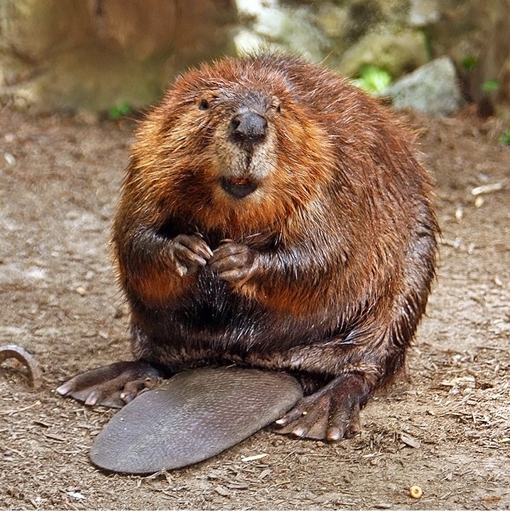
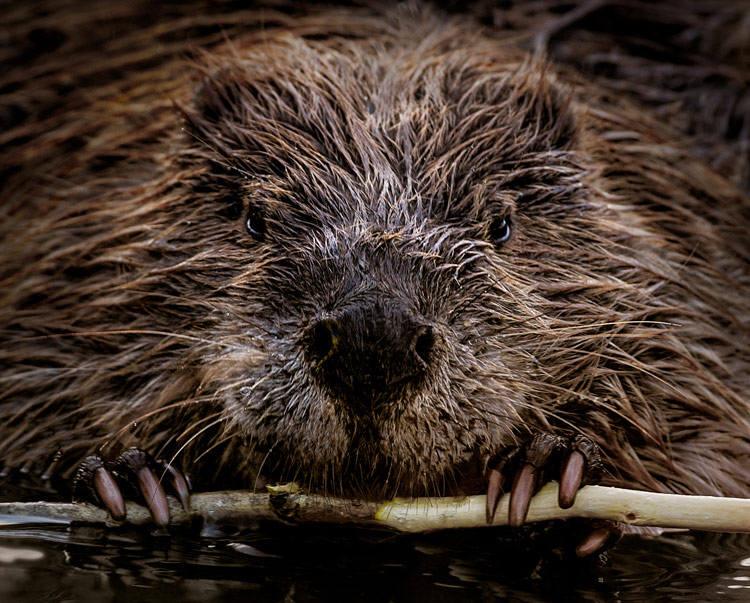
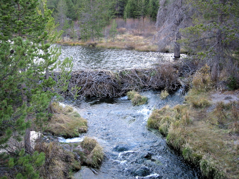
Beavers are masters of their micro-environment. They craft small dams which create ponds that protect them from predators. Beneficial not only to beavers, these dams also help keep the waterway and surrounding ecosystem healthy. Small dams in the stream channel slow down the flow of water, decreasing soil erosion and increasing nearby soil moisture. This increases local greenness, as well as resilience to drought and wildfire. As beavers are naturally reclaiming parts of their extensive former range in North America, Collaborative Earth’s Beaver Lab is studying the impacts of their dams to better understand how to repair and regenerate degraded riparian ecosystems.
The Beaver Lab is using remote sensing and machine learning to observe and predict how interventions like beaver dams and beaver dam analogs (BDAs) transform ecosystems. One of the lab’s core goals is to provide open-source tools for researchers and land managers to study impacts of beaver-based restoration in their own area.
So far, the team has produced a prototype web tool that allows users to analyze the influence of dams on their land using openly-available satellite imagery. The tool is designed with a user-friendly interface to make these analyses accessible even to people without experience with earth observation data or coding. It will be made available to the public soon, after beta testing.
In addition, the team has been collecting a large number of dam locations from researchers and dam censuses to create a geographically diverse dataset for the purposes of documenting and predicting dam impacts. Particularly of interest are locations where dam status changes over time (as a result of natural beaver activity or intervention). By pairing satellite imagery of dam locations with other geospatial data such as elevation and weather, the team hopes to use this data to train a machine learning model to predict how dams influence a local area based on that area’s geographical and climate features. This can be used to help plan beaver-based restoration projects including beaver relocation and BDA installment.
The team has charted three next steps. First, they will release their dam impact analysis tool to the public and update it in response to user feedback. Second, they will continue to build their dataset of dam and restoration project locations and use it to train a predictive model to estimate future dam impacts. Third, they hope to extend their analysis of dam impacts to include resilience to drought and wildfire by bringing in datasets on national drought and fire events. Ultimately, the team aims to deliver truly useful tools for land stewards to consider recruiting, introducing, or emulating beavers to regenerate and sustain riparian ecosystems.
-
Data Science and Machine Learning, NYU
Lab Leader
Data Science and Machine Learning, NYU
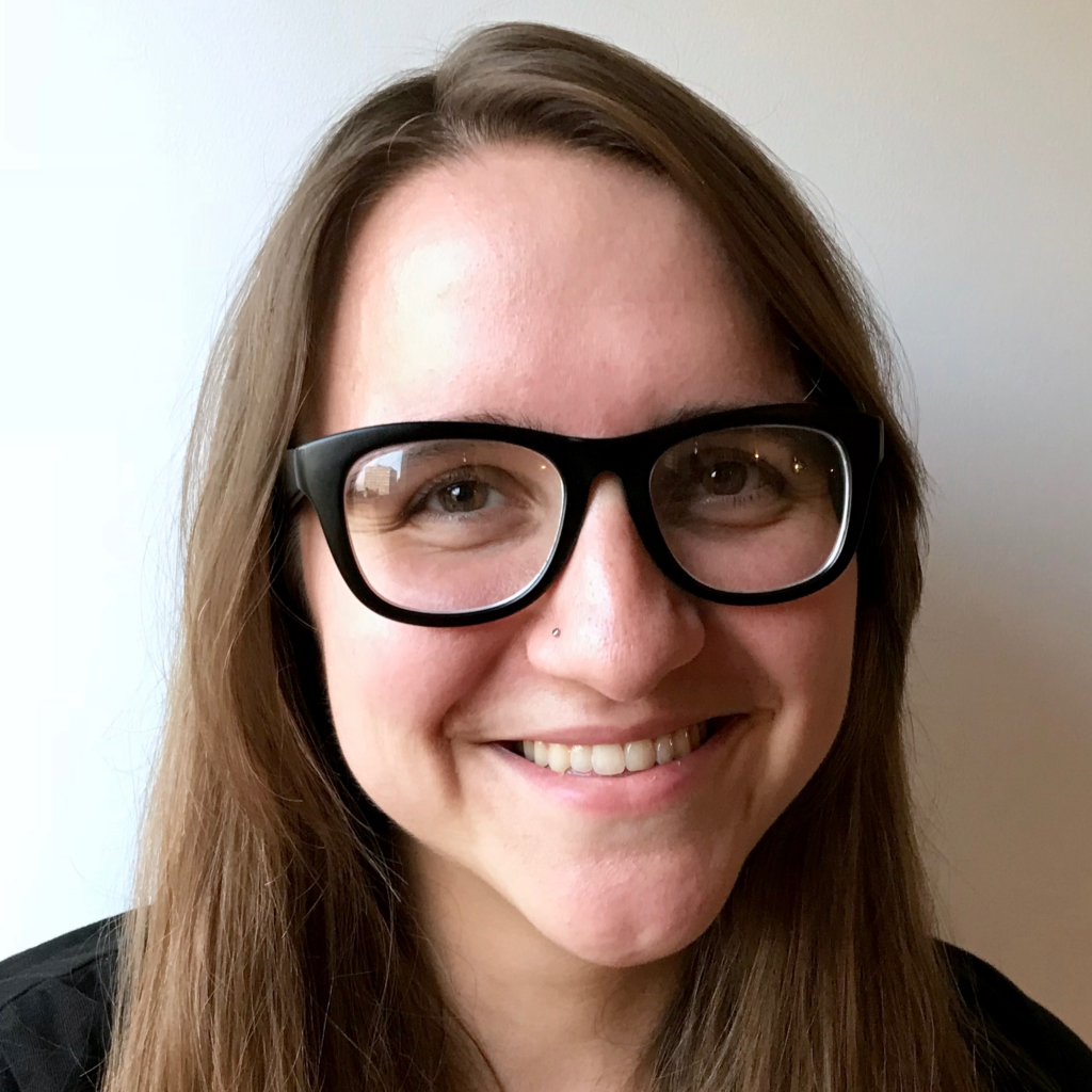
Dr. Grace Lindsay is an Assistant Professor of Data Science and Psychology at New York University and leads CE's Beaver Lab. She is the author of "Models of the Mind: How Physics, Engineering and Mathematics Have Shaped Our Understanding of the Brain." In her new line of research, she aims to use computer vision to help mitigate and adapt to climate change effects. She received her PhD in Neurobiology and Behavior from Columbia University.
Computer and Data Science, NYU
Lab Member
Computer and Data Science, NYU
Chris Kong, a graduate of New York University in Computer and Data Science, combines technical expertise with innovative problem-solving. His research focuses on machine learning and database architecture, complemented by full-stack development skills. In the Beaver Lab, Chris is developing a comprehensive database system for beaver dam ecosystems, making ecological and telemetry data more accessible. An avid traveler and photographer, he enjoys documenting his journeys across diverse landscapes.
Geomorphology and Earth Science, North Carolina State University
Lab Member
Geomorphology and Earth Science, North Carolina State University
Chris Norcross is a PhD student in earth sciences at North Carolina State University studying beaver biogeomorphology in the Piedmont region. In particular, he is working to understand how beavers affect stream systems and the subsequent consequences for water quality and ecosystem health. He has expertise in remote sensing and GIS, and is a retired US Army veteran.

Machine Learning, Twosense
Lab Member
Machine Learning, Twosense
Dr. Jack Etheredge is a machine learning engineer and neuroscientist, currently leading machine learning efforts for the cybersecurity startup Twosense. He has academic and professional expertise in developmental biology, bioinformatics, and machine learning, with machine learning expertise in supervised learning and computer vision. He received a PhD in neuroscience from the University of Cambridge.
Remote Sensing and Geospatial Analysis, University of Massachusetts Amherst
Lab Member
Remote Sensing and Geospatial Analysis, University of Massachusetts Amherst
Quintin Tyree is a geospatial analyst and remote sensing technician with a focus on wildlife monitoring and conservation. He is currently working on a Master’s in Remote Sensing in the University of Massachusetts – Amherst Geography program, and is a part of the CE Beaver Lab.
Wetland Ecology, SUNY Geneseo
Lab Member
Wetland Ecology, SUNY Geneseo
Wendy Owens-Rios is a Lecturer of Ecology at SUNY Geneseo and researcher in wetland ecology and restoration at Rochester Institute of Technology. Her scholarship is focused on wetland soil and sediment microbial communities and how they drive overall function in a given ecosystem. She also supports research in microplastics and imaging science, is a certified ecologist, and is part of the CE Beaver Lab.