


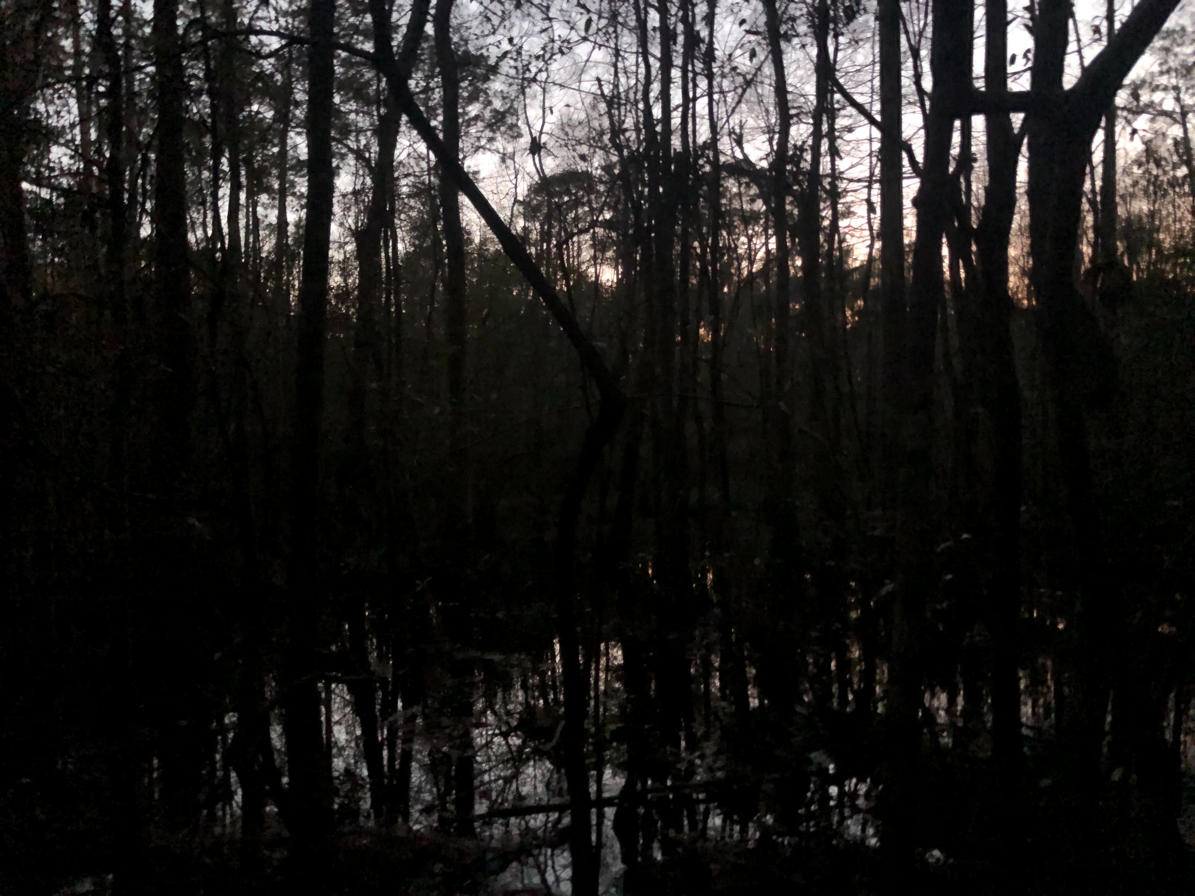
Coastal forested wetlands (CFWs) are a vital component of the coastal wetland mosaic and offer humanity abundant and vital benefits, including carbon sequestration, storm surge buffer, and groundwater recharge. The powerful effects of climate change on coasts—especially sea-level rise, increased storm surge, and hurricanes—are expected to play a major role in the decline of this important ecosystem. Nearly 14,000 square kilometers of CFWs were lost in the North American Coastal Plain from 1996 – 2016, which is roughly four times greater than the global mangrove decline over a similar time period. However, mangrove loss is due to physical disturbance by development, whereas CFW loss is driven also by climate change. Additionally, the conversion of CFW to marsh with rising salinity represents a significant shift not only in the ecological community, but also in carbon stocks. It is estimated that marshes will take between 130 and 760 years for their soil carbon to store the same amount of carbon that existing CFWs currently hold (per unit area). This highlights the vital role that CFWs play in carbon sequestration at the global scale and should motivate efforts to conserve and restore CFWs.
.jpg)
However, a critical information gap remains: There are no global datasets covering the presence or condition of coastal forested wetlands. The best dataset for this habitat is produced by the NOAA Coastal Change Analysis program, which is only generated for coastal regions of the United States every 5 years. This lack of global data impedes researchers and communities from understanding how this habitat is changing around the world. A high resolution, global dataset would allow scientists to answer many important questions, including:
1. How is global coverage of CFW being affected by climate change?
2. What are the present carbon stocks of the world’s CFWs?
3. How is the carbon sequestration potential of CFWs modified by climate change?
Filling this critical information gap called for an interdisciplinary team, including experts in CFW ecology, remote sensing, AI, and data visualization. The CFW Lab defined two clear ways their research deliverables would be immediately actionable. Unlike other coastal ecosystem types, CFWs are unable to keep pace with the current rate of sea level rise and don’t have the ability to naturally migrate upslope. As a result, many CFWs are dying in place. This scenario is made more likely and widespread by engineered infrastructure that reduces freshwater inputs from upstream or increases saltwater intrusion from downstream. First, having an accurate understanding of where CFWs exist will allow for more targeted hydrologic intervention to achieve conservation and even restoration.
Second, the improved and enlarged map of current CFW’s the team produced also informed a model of where CFW’s could potentially thrive. With the addition of physical variables predicted by the best available climate models, the model is able to predict where CFW’s could thrive under future climate conditions. Such predictions enable conservation groups to develop assisted migration plans with an eye toward the future. Further, those interested in emerging markets in ecosystem services may identify areas where CFWs can be planted to offset CFW loss via afforestation efforts. Thus, a climatically adaptive habitat suitability map was an important secondary product.
Determined to develop modeling methods that could be scaled up to achieve global coverage, the team decided to build a deep-learning model that would classify landscapes as CFW or not based only using data that is openly available at a global scale. The best option was NASA’s Landsat 8, from which the team used seven distinct bands and five calculated indices. As a training dataset, the team used the most recent release from NOAA’s CCAP. Considerable pre-processing was required to confine mapping efforts to coastal areas and remove landscape or atmospheric features that would interfere with training or running the model. Eventually, the team developed a CFW classifier that has an overall accuracy ~90% and a kappa value of ~0.61. The team is preparing a publication, which will be open-source, as will the team’s model and maps.
For their present-and-future habitat suitability map, the team drew on a diversity of publicly available datasets to characterize each location in terms of biophysical variables. For future data, the team turned to CMIP6. They have now completed both a habitat suitability model for the continental US under current climate conditions, and a model for the same area under 2050 conditions. Both will be included in a forthcoming open-access publication.
.jpg)
-
Coastal Ecosystem Science, Stanford University
Lab Leader
Coastal Ecosystem Science, Stanford University
Dr. Elliott White Jr. is an Assistant Professor in the Earth System Science Department at Stanford University. He is a coastal wetland scientist that uses an interdisciplinary (ecohydrology, remote sensing, and biogeochemistry) approach to understand how coastal vegetation are being affected by climate change.

Software Engineering, Independent Consulting Practice
Lab Member
Software Engineering, Independent Consulting Practice
Dr. Layla Tadjpour is a machine learning and software engineer with expertise in data science, deep learning, machine learning, Python, Pytorch, Tensorflow, SQL, Matlab, and AWS (S3, Lambda, EC2). She has worked with numerous climate and environmental organizations, including Win Climate and TealTowns. She holds a PhD in Electrical Engineering, Communications, and Signal Processing from University of Southern California.

Coastal Ecosystem Science, North Carolina State University
Lab Member
Coastal Ecosystem Science, North Carolina State University
Dr. Lindsey Smart is a landscape ecologist, professor at North Carolina State University, and a Coastal Scientist with the Nature Conservancy. Her research focuses on the integration of social science methods and ecological processes into models of land-use that are used to explore ecosystem services trade-offs under future scenarios of land-use and sea level rise adaptation strategies. Dr. Smart holds a PhD in Forestry and Environmental Resources from North Carolina State University.
Machine Learning, Surgical Data Science Collective
Lab Member
Machine Learning, Surgical Data Science Collective
Margaux Masson-Forsyth is a machine learning expert with interests in deep learning, computer vision, and the application of AI for climate and health issues. She is the Director of Machine Learning at Surgical Data Science Collective, a non-profit startup that uses computer vision to improve surgical skills. She's worked on spatially explicit models for risk assessment, computer vision models for automatic tree measurements, and generative adversarial networks for visual simulation of reforestation.

Remote Sensing, University of Florida
Lab Member
Remote Sensing, University of Florida
Nikhil Raj Deep is a researcher who is focused on the use of multiple satellite sensors (Multispectral, Hyperspectral, and Microwave Remote Sensing) and spectroscopy towards developing models for hydrology and vegetation studies. He has worked on ISRO, DST, and DRDO projects that have utilized multi-platform remote sensing data toward terrain, environmental, and natural resource management issues, and he is skilled in ArcGIS Products, QGIS, Google Earth Engine, MATLAB, and R.